|
|
|
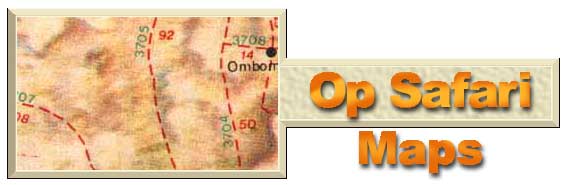
I have a great love for maps and find great pleasure in creating maps of places I've visited. But planning a trip into the wilderness, you need a good map. You need to plan your journey as well as emergency exit routes in case you need to return back home in a hurry. There are many good maps available but all of them lack major information. Most of them are designed to get you from point A to B on the best and shortest route possible. Very few show the minor gravel or farm roads. If you use a GPS, you will need coordinates in advance to plan your route and in Southern Africa it's very difficult to obtain topographical maps. Maps of My Trails
I am still working on several maps and will soon publish some of them on this site. My aim is to provide a complete set of printed maps of several areas with GPS coordinates as well as in tiff format for various map programs to plan your route and to be able to down load GPS coordinates to your GPS. This is a long project.
But in general maps are easy availible from filling stations, bookstores like CNA, PNA and at 4x4 shops. Topographical maps of South Africa are only availible from the Goverment printer in Pretoria or Cape Town. In the near future I will keep stock of these maps for certain areas in South Africa. Topographical maps of the other countries are also availible at their Goverment printers in Harare, Gaborone, Windhoek and Maputu. The AA of SA do have a great variety of maps of these regions for members but are very basic, OK for normal travel are more up to date.